There is an enormous need to map cities, rivers, coasts, roads, industrial installations and infrastructure in general, and also vulnerable areas in full three dimensions. It has to be done accurately and in detail. The main technologies for detailed 3D mapping are based on imaging devices (photogrammetry) and Lidar sensors (laser scanning). These geodata acquisition technologies routinely acquire point clouds of billions of points and have matured rapidly since the mid-1990s. They have become key geodata sources for 3D ...
Read More
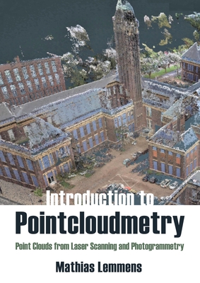
There is an enormous need to map cities, rivers, coasts, roads, industrial installations and infrastructure in general, and also vulnerable areas in full three dimensions. It has to be done accurately and in detail. The main technologies for detailed 3D mapping are based on imaging devices (photogrammetry) and Lidar sensors (laser scanning). These geodata acquisition technologies routinely acquire point clouds of billions of points and have matured rapidly since the mid-1990s. They have become key geodata sources for 3D city modelling, creation of digital twins and smart cities, and inspection of roads, railways, and natural features. Many GIS analysts extensively use point clouds in the form of digital elevation models. Pointcloudmetry is the specialized branch of geomatics that encompasses the acquisition and processing of point clouds captured by Lidar devices as well as point clouds derived from photogrammetric images. The technology allows accurate and detailed geo-information about earth-related objects, including the bare earth surface, to be obtained. This book covers the entire chain from the principles of geo-referencing and the basics of electromagnetic energy up to the generation of 2.5D and 3D geoinformation. The book provides vital knowledge about the fundamentals, idiosyncrasies and unparalleled potential of point cloud technology and is an indispensable aid to acquiring competent knowledge on the processing steps necessary for converting raw data into high quality 3D geo-information.
Read Less
Add this copy of Introduction to Pointcloudmetry: Point Clouds From to cart. $105.13, new condition, Sold by Basi6 International rated 5.0 out of 5 stars, ships from Irving, TX, UNITED STATES, published 2023 by Whittles.
Add this copy of Introduction to Pointcloudmetry: Point Clouds from to cart. $114.04, new condition, Sold by GreatBookPrices rated 4.0 out of 5 stars, ships from Columbia, MD, UNITED STATES, published 2023 by Whittles.
Choose your shipping method in Checkout. Costs may vary based on destination.
Seller's Description:
New. Sewn binding. Cloth over boards. 352 p. Contains: Halftones, color. In Stock. 100% Money Back Guarantee. Brand New, Perfect Condition, allow 4-14 business days for standard shipping. To Alaska, Hawaii, U.S. protectorate, P.O. box, and APO/FPO addresses allow 4-28 business days for Standard shipping. No expedited shipping. All orders placed with expedited shipping will be cancelled. Over 3, 000, 000 happy customers.
Add this copy of Introduction to Pointcloudmetry to cart. $114.05, new condition, Sold by Paperbackshop rated 4.0 out of 5 stars, ships from Bensenville, IL, UNITED STATES, published 2023 by Whittles Publishing.
Add this copy of Introduction to Pointcloudmetry to cart. $127.53, new condition, Sold by Blackwell's rated 3.0 out of 5 stars, ships from Gloucester, GLOUCESTERSHIRE, UNITED KINGDOM, published 2023 by Whittles Publishing.
Add this copy of Introduction to Pointcloudmetry: Point Clouds from to cart. $141.91, new condition, Sold by Booksplease rated 4.0 out of 5 stars, ships from Southport, MERSEYSIDE, UNITED KINGDOM, published 2023 by Whittles.
Add this copy of An Introduction to Pointcloudmetry: Point Clouds From to cart. $150.63, new condition, Sold by Revaluation Books rated 4.0 out of 5 stars, ships from Exeter, DEVON, UNITED KINGDOM, published 2021 by Whittles Pub.