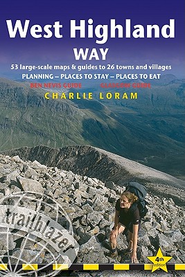
The West Highland Way is the most popular long-distance path in Britain. It passes through some of the most spectacular scenery in all of Britain. From the outskirts of Glasgow it winds for 95 miles along the wooded banks of Loch Lomond, across the wilderness of Rannoch Moor, over the mountains above Glencoe to a dramatic finish at the foot of Ben Nevis - Britain's highest mountain.
Read More
The West Highland Way is the most popular long-distance path in Britain. It passes through some of the most spectacular scenery in all of Britain. From the outskirts of Glasgow it winds for 95 miles along the wooded banks of Loch Lomond, across the wilderness of Rannoch Moor, over the mountains above Glencoe to a dramatic finish at the foot of Ben Nevis - Britain's highest mountain.
Read Less
Add this copy of West Highland Way: Glasgow to Fort William Planning, to cart. $81.46, good condition, Sold by Bonita rated 4.0 out of 5 stars, ships from Newport Coast, CA, UNITED STATES, published 2010 by UNKNO.