This fully revised street atlas of Herefordshire and Monmouthshire gives comprehensive and detailed coverage of the region. The route planner shows all the A and B roads, and can be used when driving to get close to the destination before turning to the relevant large-scale street map.The street maps show every named road, street and lane very clearly, with major roads picked out in colour. The maps are at a scale of 1.75 inches to 1 mile, with larger-scale maps at 3.5 inches to 1 mile for urban areas. The town centres of ...
Read More
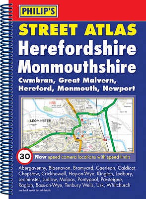
This fully revised street atlas of Herefordshire and Monmouthshire gives comprehensive and detailed coverage of the region. The route planner shows all the A and B roads, and can be used when driving to get close to the destination before turning to the relevant large-scale street map.The street maps show every named road, street and lane very clearly, with major roads picked out in colour. The maps are at a scale of 1.75 inches to 1 mile, with larger-scale maps at 3.5 inches to 1 mile for urban areas. The town centres of Hereford and Monmouth (Trefynwy) are shown at 7 inches to 1 mile.Other information on the maps includes postcode boundaries, car parks, railway and bus stations, post offices, schools, colleges, hospitals, police and fire stations, places of worship, leisure centres, footpaths and bridleways, camping and caravan sites, golf courses, and many other places of interest. New to this edition are fixed single and multiple speed-camera locations, with corresponding speed limits.The comprehensive index lists street names and postcodes, plus schools, hospitals, railway stations, shopping centres and other such features picked out in red, with other places of interest shown in blue.
Read Less
Add this copy of Philips Street Atlas Herefordshire and Monmouthshire: to cart. $18.19, very good condition, Sold by Greener Books rated 4.0 out of 5 stars, ships from London, UNITED KINGDOM, published 2008 by Philips.
Choose your shipping method in Checkout. Costs may vary based on destination.
Seller's Description:
Very good. **SHIPPED FROM UK** We believe you will be completely satisfied with our quick and reliable service. All orders are dispatched as swiftly as possible! Buy with confidence! Greener Books.