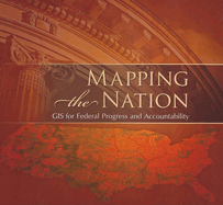
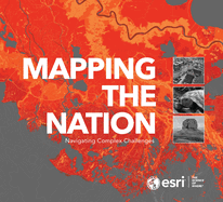
"Mapping the Nation for 2017 is the annual federal map book containing examples of federal agencies using GIS. The book is divided into various government sectors (health, public safety, environment, etc.) to show how GIS can be applied to a multitude of tasks and missions."--Amazon.com.
Read More
"Mapping the Nation for 2017 is the annual federal map book containing examples of federal agencies using GIS. The book is divided into various government sectors (health, public safety, environment, etc.) to show how GIS can be applied to a multitude of tasks and missions."--Amazon.com.
Read Less
Add this copy of Mapping the Nation: Gis for Federal Progress and to cart. $2.67, very good condition, Sold by ThriftBooks-Dallas rated 4.0 out of 5 stars, ships from Dallas, TX, UNITED STATES, published 2011 by Esri Press.
Add this copy of Mapping the Nation: Gis for Federal Progress and to cart. $2.67, good condition, Sold by ThriftBooks-Dallas rated 4.0 out of 5 stars, ships from Dallas, TX, UNITED STATES, published 2011 by Esri Press.
Add this copy of Mapping the Nation: Gis for Federal Progress and to cart. $2.67, good condition, Sold by ThriftBooks-Baltimore rated 4.0 out of 5 stars, ships from Halethorpe, MD, UNITED STATES, published 2011 by Esri Press.
Add this copy of Mapping the Nation: Gis for Federal Progress and to cart. $2.95, very good condition, Sold by Project HOME rated 5.0 out of 5 stars, ships from Philadelphia, PA, UNITED STATES, published 2011 by Esri Press.