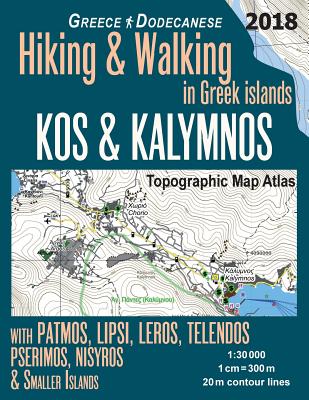
Updated edition. Large scale, highly detailed topographic map 1:30.000 for hiking and trekking, printed as an atlas book (with overlapping pages). Complete map of the islands of Kalymnos - "sponge-divers' island" (also known as C???lino in Italian and Kilimli or Kelemez in Turkish), Kos, Patmos - the location of the prophetic visions and the writing of the Book of Revelation, Lipsi, Leros, Telendos, Pserimos, Nisyros (Porphyris), as well as the smaller islands of Arki, Marathi in the Dodecanese (Dodekanissos archipelago, ...
Read More
Updated edition. Large scale, highly detailed topographic map 1:30.000 for hiking and trekking, printed as an atlas book (with overlapping pages). Complete map of the islands of Kalymnos - "sponge-divers' island" (also known as C???lino in Italian and Kilimli or Kelemez in Turkish), Kos, Patmos - the location of the prophetic visions and the writing of the Book of Revelation, Lipsi, Leros, Telendos, Pserimos, Nisyros (Porphyris), as well as the smaller islands of Arki, Marathi in the Dodecanese (Dodekanissos archipelago, Carpathian Sea), covering great walks and wonderful hiking trails in the area. Also covered are nearby islets, including Strongyli, Agreloussa, Spalathronisi, Smineronisi, Psathonisi, Komaros, Agia Thekia, Trangonisi, Nisi Manoli group, Arefousa, Paploma, Megalo Aspronisi, Makri Aspronisi, Kouloura, Notio Aspronisi, Lyra, Megalo Kalapodi, Archangelos, Megalo Faradonisi and the islets in the Faradonisi group, Agia Kyriaki, Piganousa, Velona, Glaronisi group, Kalavros, Nera, Plati, Gyali, Agios Antonios, Pergousa, Pachia. 20 meter contour lines, road network, trails & paths, transportation, food, campsites, shelters, guest houses & hotels.Mercator projection with both UTM and WGS84 coordinate grids. The map scale of 1:30000 (1 cm = 300 meters) provides a wealth of detail while keeping low the weight of the atlas itself. The large page format of 8.5x11in minimizes page count and along with an overlapping map design allows for comfortable navigation. The details included in the topographic maps of this atlas were specifically selected to be useful for trekkers, hikers and walkers of all interests, and make it easy to plan and enjoy both short excursions and hikes as well as long multi-day adventures along the main marked routes and/or adjacent trails and paths, which are also shown on the maps. With this ultralight atlas you will always have a detailed, reliable, information-rich, battery-independent, shatter-proof map for your adventure.
Read Less
Add this copy of Kos & Kalymnos Topographic Map Atlas 1: 30000 Greece to cart. $12.04, new condition, Sold by Ingram Customer Returns Center rated 5.0 out of 5 stars, ships from NV, USA, published 2018 by Createspace Independent Publishing Platform.
Add this copy of Kos & Kalymnos Topographic Map Atlas 1: 30000 Greece to cart. $26.44, new condition, Sold by Ria Christie Books rated 5.0 out of 5 stars, ships from Uxbridge, MIDDLESEX, UNITED KINGDOM, published 2018 by Createspace Independent Publishing Platform.
Add this copy of Kos & Kalymnos Topographic Map Atlas 1: 30000 Greece to cart. $67.56, new condition, Sold by Bonita rated 4.0 out of 5 stars, ships from Newport Coast, CA, UNITED STATES, published 2018 by CreateSpace Independent Publis.