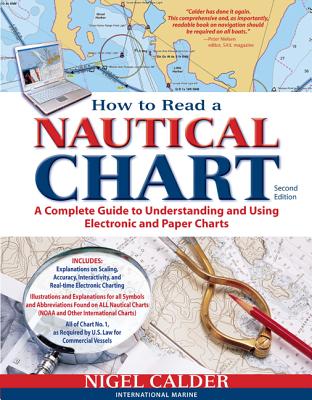
Authoritative, practical, and hands-on information on reading and relying on electronic and paper nautical charts The classic How to Read a Nautical Chart explains every aspect of electronic and paper nautical charts: how a chart is assembled, how to gauge the accuracy of chart data, how to read charts created by other governments, how to use information such as scale, projection technique and datum that every chart contains; how not to get fooled or run aground by overzooming. Nigel Calder teaches you how to squeeze ...
Read More
Authoritative, practical, and hands-on information on reading and relying on electronic and paper nautical charts The classic How to Read a Nautical Chart explains every aspect of electronic and paper nautical charts: how a chart is assembled, how to gauge the accuracy of chart data, how to read charts created by other governments, how to use information such as scale, projection technique and datum that every chart contains; how not to get fooled or run aground by overzooming. Nigel Calder teaches you how to squeeze every ounce of information out of a nautical chart (on your GPS, chartplotter, or nav station) and understand the limits of accuracy for all charts, paper and electronic, raster and vector. This much-awaited second edition addresses the changes in the world of electronic charting, integrated onboard navigation systems, as well as radar overlays and AIS and their interfacing with charts. A new chapter onthe Wiki Revolution explores the mechanisms allowing you to incorporate user-generated content into navigational products and share this content with others--harnessing a user-base never before possible. Calder also explores how 3D-technology and real-time depth and weather information is creating interactive charting capacities that are fundamentally changing how we navigate. Calder's unique, practical insights will help you to navigate safely for years to come.
Read Less
Add this copy of How to Read a Nautical Chart, 2nd Edition (Includes All to cart. $16.74, new condition, Sold by GreatBookPrices rated 4.0 out of 5 stars, ships from Columbia, MD, UNITED STATES, published 2012 by International Marine Publishing.
Choose your shipping method in Checkout. Costs may vary based on destination.
Seller's Description:
New. Trade paperback (US). Glued binding. 272 p. Contains: Illustrations, color, Tables, black & white, Maps, Figures. In Stock. 100% Money Back Guarantee. Brand New, Perfect Condition, allow 4-14 business days for standard shipping. To Alaska, Hawaii, U.S. protectorate, P.O. box, and APO/FPO addresses allow 4-28 business days for Standard shipping. No expedited shipping. All orders placed with expedited shipping will be cancelled. Over 3, 000, 000 happy customers.
Add this copy of How to Read a Nautical Chart, 2nd Edition (Includes All to cart. $16.75, new condition, Sold by Ingram Customer Returns Center rated 5.0 out of 5 stars, ships from NV, USA, published 2012 by International Marine Publishing.
Add this copy of How to Read a Nautical Chart, 2nd Edition Format: to cart. $17.57, new condition, Sold by Websew Inc rated 4.0 out of 5 stars, ships from Avenel, NJ, UNITED STATES, published 2012 by International Marine Publishing.
Add this copy of How to Read a Nautical Chart: a Complete Guide to Using to cart. $19.20, new condition, Sold by BargainBookStores rated 3.0 out of 5 stars, ships from Grand Rapids, MI, UNITED STATES, published 2012 by International Marine Publishing.
Add this copy of How to Read a Nautical Chart, 2nd Edition (Includes All to cart. $19.26, new condition, Sold by Ambis Enterprises LLC rated 3.0 out of 5 stars, ships from Benton Harbor, MI, UNITED STATES, published 2012 by International Marine Publishing.
Choose your shipping method in Checkout. Costs may vary based on destination.
Seller's Description:
New. Brand New! Not Overstocks or Low Quality Book Club Editions! Direct From the Publisher! We're a small town bookstore that loves books and loves it's customers! Buy from US! Trade paperback (US). Glued binding. 272 p. Contains: Illustrations, color, Tables, black & white, Maps, Figures.
Add this copy of How to Read a Nautical Chart, 2nd Edition (Includes All to cart. $23.95, new condition, Sold by Wide World Maps & More rated 3.0 out of 5 stars, ships from Phoenix, AZ, UNITED STATES, published 2012 by International Marine Publishing.
Add this copy of How to Read a Nautical Chart, 2nd Edition (Includes All to cart. $24.25, new condition, Sold by Paperbackshop rated 4.0 out of 5 stars, ships from Bensenville, IL, UNITED STATES, published 2012 by McGraw-Hill Education-Europe.